How Radial Roads Could Influence Land Prices Near Bharat Future City
A practical guide to road-led growth, land-price drivers, investment risks and plot-level due diligence.
Hyderabad’s growth has repeatedly shown that major roads can do more than reduce travel time. They can change how people perceive a location, improve access to employment centres, attract commercial activity and gradually shift real-estate demand toward previously overlooked areas.
The Outer Ring Road is a well-known example of infrastructure influencing development patterns around Hyderabad. Today, investors are watching the next layer of connectivity—particularly the proposed radial roads associated with Bharat Future City in South Hyderabad.
The important question is:
How could radial roads influence land prices near Bharat Future City?
The short answer is that better road connectivity can improve the practical and economic value of land. However, a proposed road does not guarantee appreciation, and not every plot described as being “near a radial road” will benefit equally.
The actual effect depends on the final alignment, construction progress, road access, land-use permissions, surrounding development, purchase price and long-term demand.
This guide explains how radial roads could influence land prices near Bharat Future City, which factors investors should examine and why legal and location-level verification remain essential.
What Is Bharat Future City?
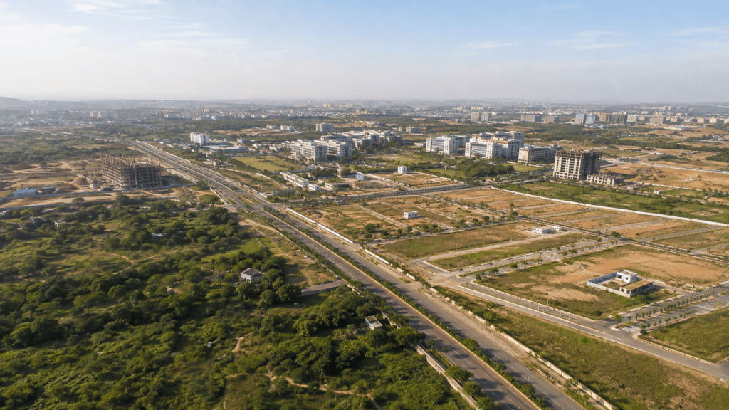
Bharat Future City is a planned development region south of Hyderabad. It is intended to support a combination of economic, industrial, educational, technological and urban-development activities.
In March 2025, the Telangana government constituted the Future City Development Authority, or FCDA, as a special area development authority. The official order describes a 765.28-square-kilometre development area covering 56 revenue villages in seven mandals. It identifies the region between the Srisailam National Highway and Nagarjunasagar State Highway as strategically important because of its proximity to Rajiv Gandhi International Airport, the availability of land and planned economic and industrial clusters.
The same order specifically refers to comprehensive master planning, multimodal connectivity, radial-road and metro connectivity, modern urban amenities and economic and industrial clusters as elements of the Future City vision. Investors can examine the EXTERNALofficial FCDA constitution order, G.O.Ms.No.69 for the notified scope and village list.
This matters because large urban projects need more than allocated land. They require roads that connect employment zones, institutions, residential areas, logistics networks and established parts of Hyderabad.
What Are Radial Roads?
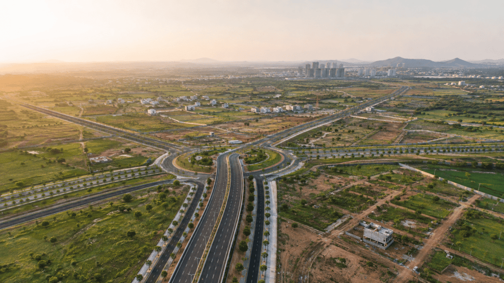
A radial road generally extends outward from, or links into, a major urban centre or ring-road network. In Hyderabad’s context, radial roads can connect important corridors, growth nodes and highways with the Outer Ring Road, Regional Ring Road or emerging urban zones.
Their purpose may include:
- Reducing dependence on a small number of congested routes
- Improving access between developing areas and established city corridors
- Connecting employment and industrial zones
- Supporting freight and logistics movement
- Enabling planned urban expansion
- Improving access to public services and institutions
- Creating alternative routes between major highways
HMDA’s existing planning framework has long recognised radial connectivity as part of the metropolitan road network. The proposed roads around Future City represent a new phase of this broader connectivity model.
Greenfield Radial Road-1 and Bharat Future City
In September 2025, the Telangana Chief Minister participated in the foundation-stone ceremony for the FCDA building and the proposed Greenfield Radial Road-1 at Meerkhanpet. The official announcement described the road as connecting Kongara Kalan to Amangal and placed it within the wider Bharat Future City development programme.
The announcement also referred to other long-term connectivity ambitions, including a wide road toward Srisailam and proposed inter-city transport links. These larger proposals may develop through different planning, approval and construction stages, so investors should not treat every announcement as a completed asset.
The EXTERNALTelangana Chief Minister’s official Greenfield Radial Road-1 announcement confirms the groundbreaking and proposed Kongara Kalan–Amangal connection.
In August 2026, a EXTERNALTelangana government road-network update directed officials to accelerate radial-road works and complete the Radial Road-1 section from Kongara Kalan to Future City. This indicates that radial connectivity remains an active government priority, but investors should continue checking official updates for alignment, acquisition and construction status.
Why Roads Can Influence Land Prices
Land prices are influenced by a combination of utility, accessibility, scarcity, permissible use and buyer demand. A major road can affect several of these factors at the same time.
1. Reduced Travel Time
When a new road provides a faster connection to workplaces, highways, airports or commercial centres, a location can become more practical for residents and businesses.
A village that previously required a long, indirect journey may become easier to access. This can expand the number of people willing to consider living, investing or operating a business there.
However, investors should measure actual point-to-point travel time rather than relying on marketing statements such as “ten minutes from Future City.” Traffic conditions, entry points, junctions and service roads can materially affect real accessibility.
2. Improved Access to Employment Zones
Future City is being planned around multiple economic and institutional activities. If radial roads connect surrounding locations to employment zones, educational institutions, industrial clusters and technology infrastructure, nearby residential demand could improve over time.
Housing demand normally becomes stronger when three elements come together:
- Employment generation
- Reliable connectivity
- Liveable residential infrastructure
A road by itself may not create a housing market. It can, however, strengthen demand when employment and urban services develop alongside it.
3. Greater Commercial Visibility
Land with appropriate access and permissible use along an important road may attract interest for retail, offices, hospitality, warehouses or service businesses.
Commercial potential depends heavily on zoning, frontage, access control, road design and planning regulations. Land located beside a highway or controlled-access road may not automatically receive direct entry.
Therefore, road-facing land should not be valued as commercial property unless its land use and access are legally suitable.
4. Expansion of Residential Development
Developers often prefer areas with visible infrastructure and easier construction access. A major radial road can improve the feasibility of transporting materials, connecting utilities and marketing new residential projects.
As more approved layouts and housing projects enter an area, the market can become more organised. This may improve buyer awareness, transaction activity and price discovery.
But rapid layout promotion can also increase speculation. Buyers should distinguish between genuinely approved projects and unapproved subdivisions created only to take advantage of infrastructure publicity.
5. New Growth Nodes Around Junctions
Major intersections and connections between radial roads, highways and local roads can become development nodes. Commercial activity often prefers locations where traffic movement and local access meet.
Potential growth may emerge around:
- Highway junctions
- Entry and exit points
- Connections with existing village roads
- Proposed institutional or industrial zones
- Public-transport interchanges
- Locations with approved residential layouts
Not every point along a road has the same potential. A well-connected junction with suitable land use may perform differently from an isolated parcel without legal access.
6. Change in Market Perception
Infrastructure announcements can change how buyers perceive an area even before construction is completed. This can increase enquiries and asking prices.
There are normally several stages:
- Initial announcement
- Preliminary alignment and surveys
- Land acquisition or planning approvals
- Tendering and mobilisation
- Active construction
- Partial opening
- Full operation and surrounding development
Prices may react differently at every stage. Early investment can offer potential upside but carries greater execution and alignment risk. Buying after completion may reduce uncertainty but usually involves a higher entry price.
Which Locations Could Attract More Attention?
Locations connected to the notified Future City region and the radial-road network may receive increased investor attention. These can include parts of:
- Meerkhanpet
- Kandukur
- Mucherla
- Kongara Kalan
- Yacharam
- Amangal
- Kadthal
- Maheshwaram and surrounding corridors
This list should not be interpreted as a recommendation to buy in every location. Even within the same village, two plots can have very different investment quality based on title, survey number, road access, zoning, topography, nearby development and purchase price.
Investors comparing emerging corridors may also review Anjana Properties’ guides to INTERNALfast-growing areas for plots in Hyderabad and INTERNALhow ORR and RRR are changing plot investment.
Land Closest to the Road Is Not Always the Best Investment
Many buyers assume that the plot closest to a proposed road will provide the highest return. That assumption can be risky.
Land directly affected by a proposed alignment may face acquisition, setbacks, access restrictions or uncertainty until plans are finalised. Land immediately beside a high-speed corridor may also be less suitable for residential use because of noise, safety or controlled access.
In some cases, land located a short distance away—with reliable connecting-road access, approved residential use and nearby services—may be more practical than land directly touching the corridor.
Investors should evaluate:
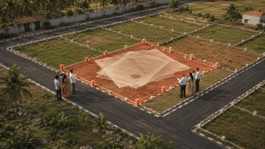
- Whether the survey number is affected by the proposed alignment
- Whether land acquisition notifications have been issued
- Whether direct access will be permitted
- Required building or development setbacks
- Existing and proposed land use
- Availability of internal approach roads
- Suitability for residential or commercial development
Risks Investors Should Consider
Alignment Risk
Preliminary routes can change. A plot marketed using an unofficial map may ultimately be farther from the final alignment—or directly affected by it.
Execution Risk
Infrastructure projects can face delays arising from acquisition, approvals, funding, utility shifting, contractor mobilisation and legal disputes.
Speculative Pricing
Sellers may increase asking prices immediately after an announcement, even when the surrounding infrastructure remains limited. Paying an inflated price can reduce future returns.
Access Risk
Being geographically close to a road is different from having lawful and convenient access to it. Controlled-access roads may have limited entry points.
Land-use Risk
Agricultural, conservation, industrial, residential and other land-use categories can have different development restrictions. Future appreciation does not eliminate present legal limitations.
Approval and Title Risk
Unapproved layouts, unclear title, disputed boundaries, prohibited land and missing approach roads can make resale or construction difficult regardless of nearby infrastructure.
Legal Checks Before Buying a Plot Near a Radial Road
Before purchasing, buyers should obtain professional legal and survey verification. Important checks include:
- Title chain: Review prior ownership documents and continuity of title.
- Encumbrance certificate: Check registered transactions and recorded encumbrances.
- Survey verification: Confirm survey number, subdivision, boundaries and physical extent.
- Land classification: Verify whether the land is private patta land and check revenue records.
- Master-plan land use: Confirm the permissible use under the applicable planning authority.
- Layout approval: Verify the approval number directly with the competent authority.
- Road access: Confirm that the plot has legally documented access, not merely a pathway shown in marketing material.
- Acquisition status: Check whether the land is affected by a proposed road or government acquisition.
- Water-body restrictions: Verify full-tank-level, buffer-zone and drainage constraints.
- Registration eligibility: Confirm that the property can legally be registered and developed.
Do not rely only on a brochure, salesperson, online map or unofficial alignment image.
How to Evaluate the Investment Potential
A practical assessment can use the following framework.
Connectivity
- Present travel time to ORR, airport and major highways
- Proposed travel time after the road is operational
- Distance to actual junctions and entry points
- Quality of the existing approach road
Development
- Active construction rather than announcements alone
- Nearby institutional, industrial or employment projects
- Approved residential development
- Utilities, schools, healthcare and retail
Legal Quality
- Clear title
- Correct zoning
- Valid layout approval
- Confirmed road access
- No acquisition or environmental restrictions
Financial Quality
- Current price per square yard
- Comparable transactions—not just quoted prices
- Price difference from established nearby areas
- Expected holding period
- Liquidity and likely resale buyer
- Registration, development and financing costs
For a broader evaluation method, read INTERNALhow to identify high-ROI plot investments before prices increase.
Short-Term and Long-Term Price Effects
In the short term, road announcements may increase market enquiries and seller expectations. This stage can be driven more by sentiment than by physical development.
In the medium term, acquisition, construction visibility and confirmed junctions can improve confidence. Developers and businesses may begin evaluating nearby land more actively.
In the long term, price performance is likely to depend on whether the road becomes part of a functioning urban ecosystem. Sustainable appreciation generally requires employment, residential occupancy, commercial services, utilities and reliable transport—not just an asphalt corridor.
Therefore, investors should match the investment to their holding period. A buyer expecting immediate resale may face greater risk than someone prepared to hold through infrastructure and urban-development cycles.
Frequently Asked Questions
1. What is Greenfield Radial Road-1?
Greenfield Radial Road-1 is a proposed road associated with Bharat Future City. The Telangana government has described it as connecting Kongara Kalan to Amangal, with the Kongara Kalan–Future City section receiving particular implementation attention.
2. Will radial roads definitely increase land prices?
No. Roads can improve accessibility and development potential, but appreciation is not guaranteed. Final alignment, construction, zoning, demand, approvals and the price paid all influence returns.
3. Which areas could benefit from Radial Road-1?
Areas along or connected to the Kongara Kalan, Future City, Kandukur, Meerkhanpet and Amangal corridor may attract attention. Plot-level due diligence is essential because benefits will not be uniform.
4. Is land directly beside a radial road better?
Not always. Directly affected land may face acquisition, access controls, setbacks or unsuitable residential conditions. A legally approved plot with good connecting access may be more practical.
5. When is the best time to invest?
There is no universally best stage. Early investment may offer lower prices but higher uncertainty. Later investment may provide better project visibility at a higher entry price.
6. How can I verify the road alignment?
Check official government notifications, planning maps, land-acquisition records and competent-authority information. Engage a surveyor and property lawyer to verify whether a specific survey number is affected.
7. Are all plots advertised near Future City part of FCDA?
No. Marketing descriptions may use “near Future City” broadly. Verify whether the exact village and survey number fall within the notified FCDA area and what planning rules apply.
8. What holding period is suitable for emerging-corridor land?
Infrastructure-led land investment is generally better evaluated with a long-term perspective. The appropriate holding period depends on project progress, entry price, development activity and the investor’s financial needs.
Conclusion
Radial roads could become an important part of Bharat Future City’s development by improving access between emerging economic zones, established transport corridors and surrounding residential areas.
If Greenfield Radial Road-1 and related connectivity projects progress as planned, they could reduce travel times, support new development nodes and increase interest in land around parts of South Hyderabad.
However, road proximity alone should never be treated as proof of a good investment.
The strongest opportunities are more likely to be plots where confirmed connectivity, clear title, legal approval, suitable land use, realistic pricing and genuine development demand come together.
Before investing, verify the exact survey number, official road alignment, planning jurisdiction, layout approval and access conditions. Compare actual local transactions and avoid buying solely because of future-infrastructure marketing.
For location analysis and plot-investment guidance in Hyderabad, consult INTERNALAnjana Properties.
Investment disclaimer: This article is for general educational information and does not constitute legal, financial or investment advice. Infrastructure plans, alignments, timelines and regulations can change. Buyers should independently verify current government records and obtain professional legal, survey and financial advice before purchasing property.
Evaluate Future City Corridor Opportunities
Review road access, approvals, location quality and long-term potential with Anjana Properties.
INTERNALContact Anjana Properties